Browsing through local newspapers starting from the middle of the 19th century, one comes across numerous accounts of tremors being felt by the population in Malta, some lasting just a few seconds, others more frightening, and sometimes consisting of episodes of tremors over several consecutive days. Some of these events were of enough concern to warrant public prayers and votive acts. Yet, unless the tremor was explained by a known large earthquake in Sicily or Greece at the time, the origin of most of these tremors was still a mystery.
The Seismic Monitoring and Research Group (SMRG), within the Department of Geosciences at the University of Malta, is now beginning to understand in detail the geological processes around the Maltese islands that give rise to these shocks. Indeed, such episodes of seismic activity continue in the present time and are more common than was previously thought.
The major development that is making this possible is the Malta Seismic Network (MSN) – an array of eight broadband seismic stations installed over the Maltese archipelago over the past 6 years as a result of funding from various national and international research projects. Each seismic station consists of:
At present, there are two stations in Gozo, one in Comino, and five in Malta. The sensors continuously record three components of the ground surface motion – one vertical and two horizontal – and transmit the data in real-time to a server at the University of Malta, where it is analysed and archived.

Seismic stations of the SMRG in the Maltese archipelago
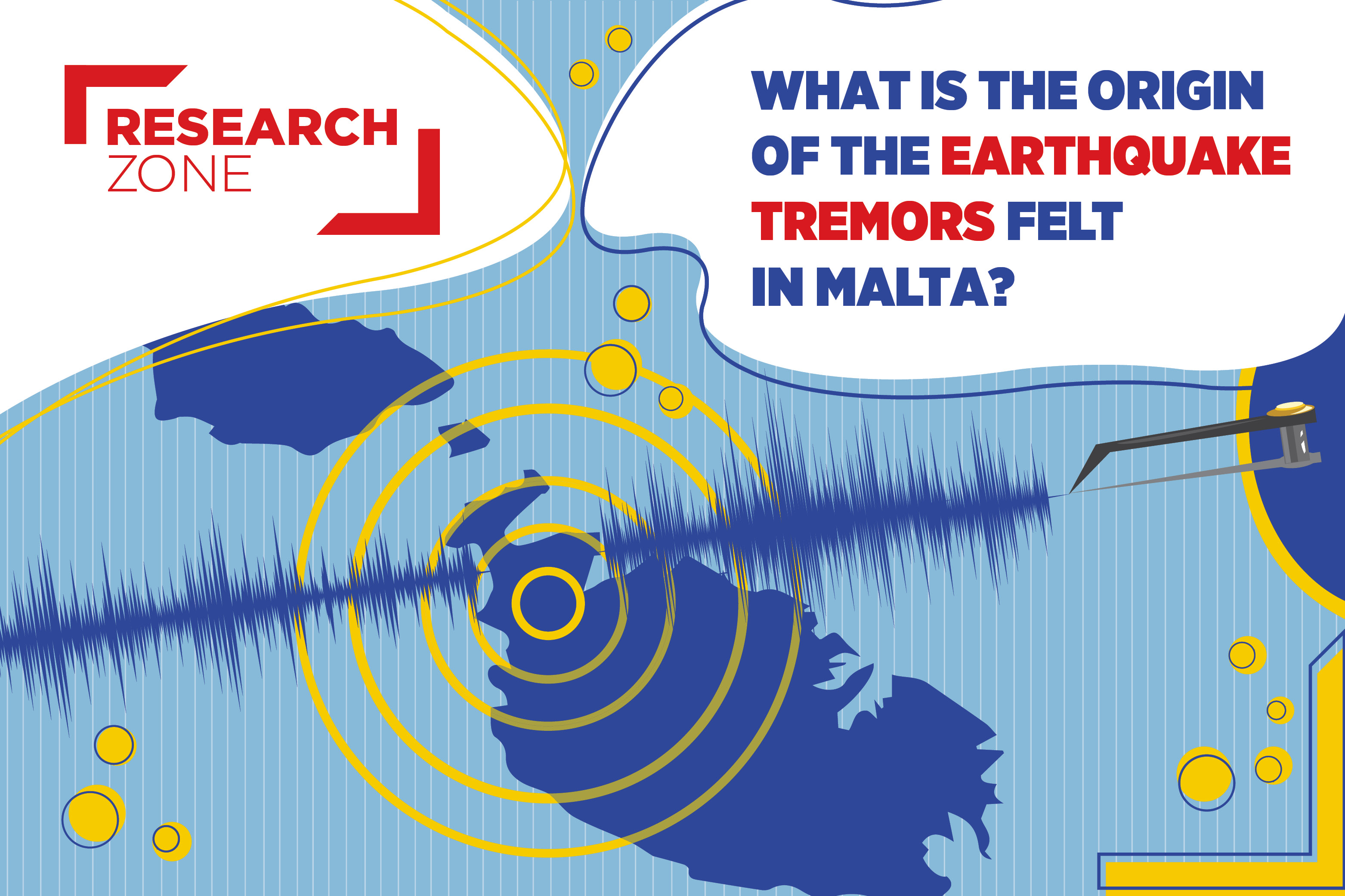
The ground surface is continuously in motion, particularly during stormy weather and from nearby heavy traffic. Sea waves hitting the shore, as well as ocean waves further out at sea, for example, induce vibrations in the Earth’s crust that travel over its surface in all directions, and are picked up by the sensors. Such vibrations are collectively known as ambient seismic noise. An earthquake causes even larger vibrations to travel through the Earth. A large enough earthquake sends energetic seismic waves speeding throughout the whole Earth’s interior, surfacing all over the planet and detected by seismic stations all over the world. Such waves shake the ground surface and can trigger a seismic sensor to record an “event” which is higher than the background ambient noise.
The SMRG is particularly interested in earthquakes that take place in the central Mediterranean that may not be large enough to be detected all over the world, but certainly trigger the stations of the MSN. A software algorithm continuously analyses the data arriving at the stations and identifies an earthquake which usually triggers all, or most, of the sensors. By automatically reading the precise arrival time of the first wave at each station, and knowing the speed with which seismic waves travel in the crust around the stations, the algorithm is able to locate the hypocentre of the earthquake, i.e. the epicentral latitude and longitude, and the depth below the surface, as well as computing its magnitude.
Although automated earthquake location is convenient and important, the system may identify “false” events since there may be other spikes in the data besides seismic waves. Local quarry blasts, too, are commonly recorded on one or more of the stations. Therefore, it is always necessary to manually analyse and verify the results. An analyst at the SMRG looks through the day’s events and makes any necessary adjustments.
Earthquakes around the Maltese islands normally occur within the thickness of the crust, i.e., shallower than 25 km, and their magnitudes are generally smaller than 4.5. With the addition of more stations, the MSN can now detect earthquakes with magnitudes as low as 1.2. Such small earthquakes are not felt by the population.
This improvement in earthquake detection and monitoring means that the SMRG can now build a catalogue of earthquakes occurring in our vicinity and produce a more accurate seismicity map. Maltese citizens are usually surprised to learn that more than a hundred such earthquakes may occur every year. Although the vast majority of these constitute no threat and are not felt by the population, it is still very important to map them, because such earthquakes occur on existing faults in the seabed. Faults are large cracks in the crust which facilitate the motion of tectonic plates, or parts of them. In the case of the Sicily Channel, a system of faults to the southwest and south of the Maltese islands defines an impressive feature termed the Sicily Channel Rift Zone (SCRZ), aligned in a NW – SE direction, which is believed to be responsible for the breaking away of part of the African plate up to southern Sicily. Such rifting may be fed by magma rising from below the Earth’s crust or may be confined to shallower “tearing” in the crust. In the case of the SCRZ, scientists are still investigating the type of process taking place. An accurate seismicity map, as well as studies about the mechanism of the earthquakes themselves, provides very important information about how this rift is developing, and how different sections of the Sicily Channel are behaving, thus helping to solve at least part of the puzzle. Our research shows that the south-eastern end of this rift in particular, generates a higher amount of earthquake activity, some periods in time being more active than others. The most recent phase of activity started last September 2020 and went on for several weeks, generating more than 120 earthquakes. Such a period of activity is called an earthquake swarm. This swarm occurred offshore at approximately 22 km south of Birzebbugia. The largest of these earthquakes, on the 30th September, had a magnitude of 4.5 and was felt by people all over the islands, but mostly in the eastern and central areas of Malta. It is believed that several such earthquake swarms have occurred in this area in the historical past.
Updated earthquake information can be found at https://seismic.research.um.edu.mt. On this site, the public may also report their experience if they feel an earthquake, through the section “Did you Feel an Earthquake?”. The information gathered from the public helps the SMRG to better understand these earthquakes, and ultimately assess the hazard that such processes may pose to the Maltese islands.
Social media page: https://www.facebook.com/um.smrg/


")